If you’ve ever thought you couldn’t travel the U.S. without a car, think again!
As someone who is one of those New Yorkers who still does not have a driver’s license and has visited 40 out of 50 states, I can say this clearly: traveling across the United States without a car is absolutely possible.
And I’m not speaking from theory. I’m speaking from experience. I’m a passenger princess out of necessity (ironically, my name is Princess).
A lot of travel advice online still assumes you’re renting a car or doing full road trips across multiple states. Even in travel groups, someone will ask how to get around without driving and the top response is usually “just rent a car,” completely ignoring that the person asked how to travel without renting a car.
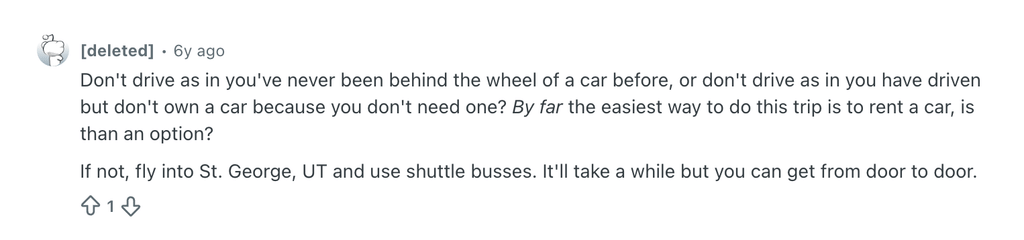
Here is an example of what I mean: https://www.reddit.com/r/solotravel/comments/m259si/zion_np_without_a_car/
And look at this response as an example (rolls eyes)…
After attending the All Fifty Club Convention and people looking at me like I have two heads when I mentioned I traveled 40 states without a car, I knew I needed to finally make a post about it.
For me, traveling without a car is not a preference. It’s a necessity. I didn’t grow up needing to drive in New York City, so I never learned. It’s one of those things that just happens when you’re from there. I might learn one day, but that day is not today.
And until then, I’ve had to figure it out.
I also often travel with my mother, and she does not fly. So I’ve had to get creative on both fronts, building itineraries that work without planes for her and without cars for me. Somehow, between trains, buses, and planning ahead, we’ve still managed to reach more states than I ever expected.
I wish someone had broken this down for me earlier. Most of what I found online was either too vague or centered around road trips. So this is my version, grounded in real experience, trial and error, and a lot of figuring it out along the way.
Here’s what actually works, so you don’t have to figure it out yourself, regardless of your reason for traveling without a car.
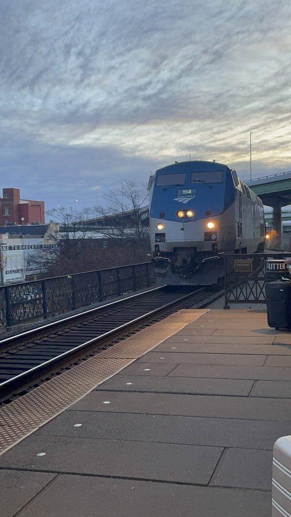
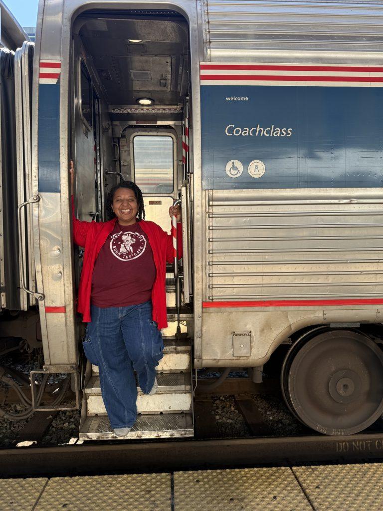
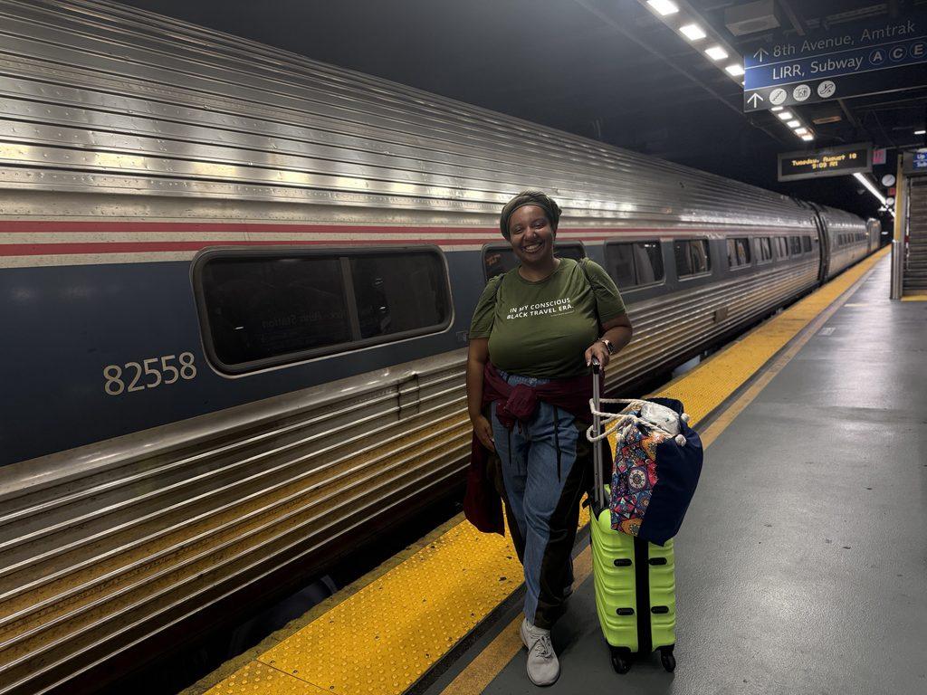
One of the most important tools in my car-free travels has been Amtrak. Trains are not just transportation; they are a strategy. The Northeast Corridor alone connects multiple states in a single trip, from Washington, DC to Boston. Routes in the Midwest and West Coast open up even more possibilities. For example, you can take Amtrak from Chicago all the way to California, then use additional routes to move up and down the state. There are also routes that connect New York to New Orleans or Miami, both of which I’ve taken with my mom, who doesn’t fly.
I’ve learned to use trains intentionally, not just point-to-point, but as multi-city connectors. Overnight routes can save money on hotels, and scenic routes like the California Zephyr or Empire Builder make the journey part of the experience.
Another key strategy is combining flights with trains. You can fly into a major city and then use Amtrak or local rail to reach smaller or less accessible destinations. In some cases, trains get you closer than you’d expect. For example, there are Amtrak routes that connect to nearby areas like New River Gorge National Park in West Virginia and Glacier National Park in Montana, places I would not have been able to reach as easily without a car.
Pro-Tip: Beyond Amtrak, local rail systems expand what’s possible for car-free travel. For instance, Metro-North connects New York City to parts of the Hudson Valley and Connecticut at a lower cost than Amtrak, while NJ Transit links New York City to New Jersey. In Florida, Brightline connects Miami, Orlando, and Fort Lauderdale, making it easier to move between major cities, even in a state known for being car-dependent.
Pro-Tip: Get an Amtrak USA Rail Pass. Allows you to take a cross-country train trip to travel the U.S. without a car with ease.
Helpful Blog Posts
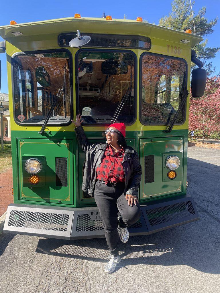
Buses are another underrated way to travel the U.S. without a car. Greyhound, Megabus, FlixBus, and even local trolleys have taken me farther than most people expect. They connect cities and states that trains don’t always reach, especially in the Midwest and New England.
I’ve taken buses from Indianapolis to Louisville and from Boston to multiple New England states. In some cases, regional bus companies are the only real option for reaching smaller towns or filling gaps between larger cities. For example, New York’s Trailways network connects New York City to smaller places like Kingston, New Paltz, and Ithaca.
Greyhound has now made it easier to explore National Parks, places typically inaccessible without a vehicle! I was so happy to see that, finally, in 2026, they provided service to several national parks. It’s about time! I have my eye on Zion National Park, as several Reddit posts suggest it’s the most accessible by bus or shuttle.
Once you’re in a city, local transit becomes everything. Subways, buses, streetcars, ferries, and water taxis all shape how you experience a place. Cities like New York, Boston, DC, and San Francisco are especially easy to navigate without a car, but even smaller cities often have limited systems that work if you plan ahead.
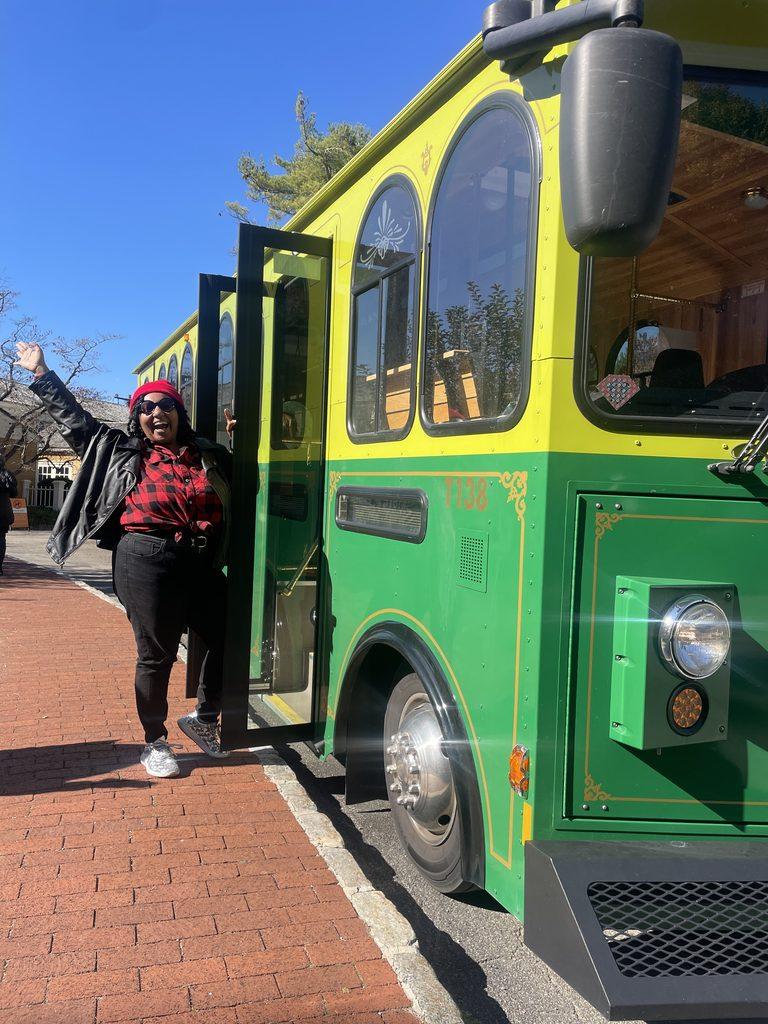
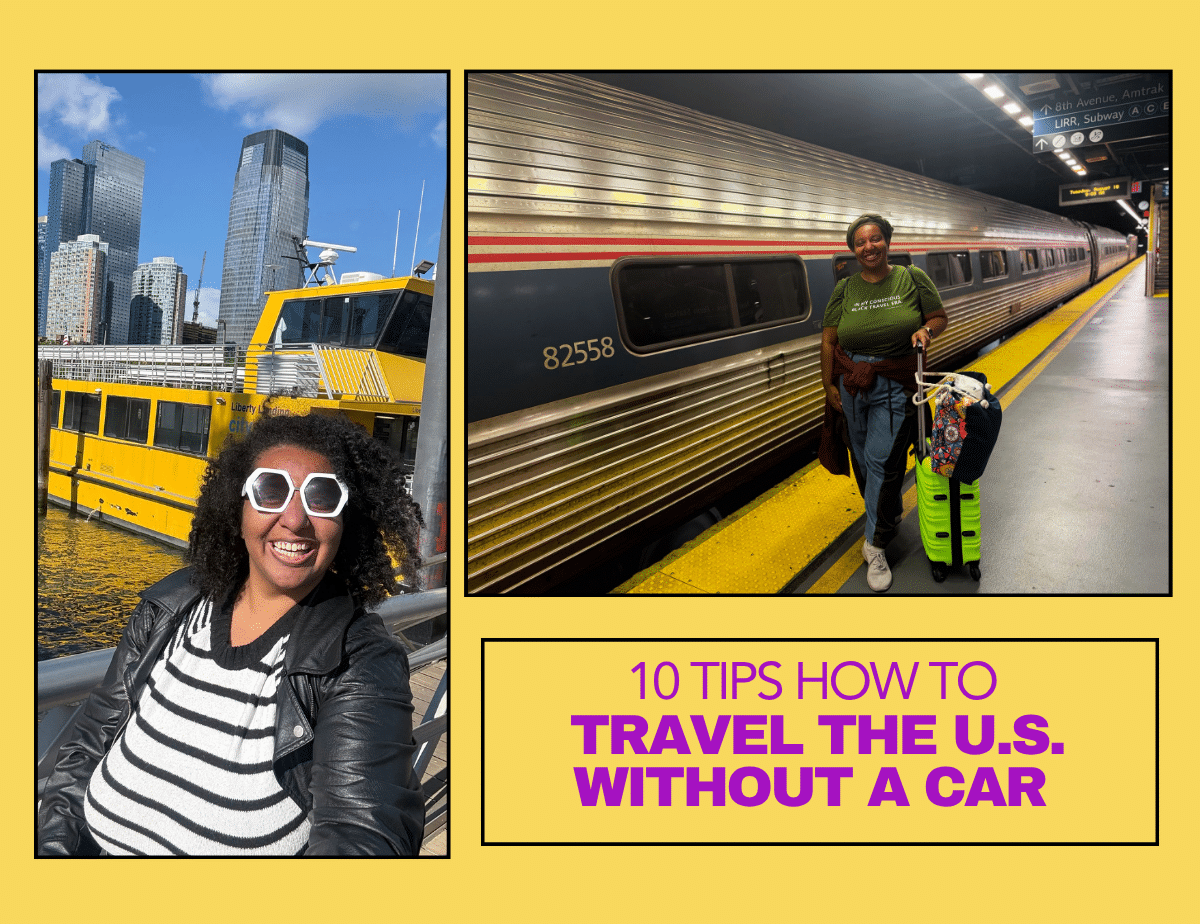
For example, San Diego and New Orleans have extensive trolley systems, while places like Portland, ME and Williamsburg, VA rely more heavily on bus networks to connect key areas. Or you can get go for a less common form: ferries and water taxis. Some examples of this are the ferry from Cape May, NJ or Lewes, DE and the water taxi from New York City and Jersey City.
The real secret is learning to mix and match.
Take a train into a city. Catch a bus to a nearby town. Use a rideshare to fill a gap. Hop on a ferry to cross the water. Then walk, bike, or use local transit once you arrive. Each mode fills in what the others cannot, creating a complete transportation system that makes car-free travel possible in places you might assume require driving.
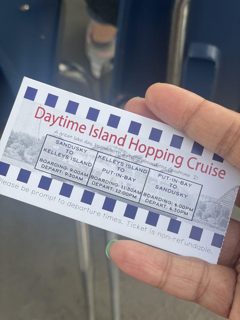
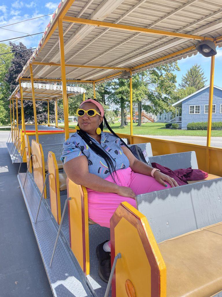
One of my favorite examples was a trip that combined Cleveland, Sandusky, and the Lake Erie Islands. I flew into Cleveland, Ohio,, explored the city, then took a rideshare to Sandusky. From there, I took a boat to the Lake Erie Islands. Once I arrived on the islands, I shifted to walking and local transit, including trolleys that made it easy to explore without a car.
That trip showed me that car-free travel does not have to mean finding one perfect transportation system. Sometimes, you build the journey piece by piece.
Pro tip: Give yourself buffer time between connections. Buses, ferries, and regional transit can experience delays, and a tight connection can throw off your entire day. A little extra time can keep one delay from derailing your trip.
Pro tip: Map your places of interest on Google Maps before you go and look at the available public transportation options. Check schedules in advance, especially for smaller cities. Some routes operate only on weekdays, have limited weekend service, or stop running earlier than you might expect. Knowing that before you arrive can make the difference between a smooth car-free trip and getting stranded.
My Trip from Sandusky, OH to Lake Erie Islands
When public transit is limited or inconsistent, ride shares become essential to travel the U.S. without a car. Uber and Lyft fill gaps where transportation systems don’t fully connect. Thank God for ride shares.
This has been especially useful for cross-border or regional city travel, like Louisville and southern Indiana, or when I needed to get from Cleveland to Sandusky. You can even use ride shares near borders like Detroit to Windsor or San Diego to Tijuana, although I have not personally tried those yet. It’s not always the cheapest option, but it keeps trips moving without needing a rental car.
I find ride shares easiest to use in major cities, especially when bus routes are limited or when something that takes 10 minutes by car turns into 40 minutes by public transit. On a short weekend trip, that time difference really matters.
That said, you do have to factor in wait times. In many small cities, a 10 to 15-minute wait is normal, and sometimes it may be your only option. I’ve experienced this in places like Portland, ME and Williamsburg, VA.
Pro tip: Keep both Uber and Lyft downloaded so you can compare prices and wait times. For example, in Williamsburg, Virginia, Lyft often arrived faster than Uber and was sometimes $5 to $10 cheaper, likely because there were more Lyft drivers in the area.
One of the biggest mindset shifts is choosing cities that actually support car-free travel. Urban destinations make this possible because they usually offer transit systems, walkability, ride-sharing, and tours all in one place. It’s why there is a term called urban mobility.
For example, when I traveled to Kentucky, I knew it made more sense to base myself in Louisville. It’s a larger city with more consistent Greyhound connections and more reasonable departure times to places like Indianapolis. Lexington, on the other hand, connects to Cincinnati but often has very limited schedules, including buses that leave at unusual hours like 2am. Even though Lexington has things I want to see, Louisville made the trip feel more realistic and less stressful.
I apply this same thinking in places like Maine. While Acadia National Park is high on my list, I knew it was more practical to base myself in Portland first. Portland is connected by both Amtrak and regional bus routes, which makes it a stronger hub for a car-free traveler. From there, it becomes easier to plan onward connections rather than trying to force a direct trip into a more remote area.
And yes, this does sometimes mean sacrificing immediate access to nature or more remote destinations. But there are always workarounds for that, which I’ll explain in another tip.
Pro-Tip: Staying downtown makes a huge difference. It reduces stress, cuts down transportation time, and keeps everything you actually want to see within reach. It also allows you to build your itinerary around access, not just attractions.
Some cities are simply built for walking. Boston, DC, and New Orleans are some of my favorites for this. In these places, walking is not just a way to get around, it becomes part of the experience itself.
Some of the best travel moments don’t happen at major landmarks, but in the spaces between them. It’s the random café you notice on a side street, the small museum you didn’t plan for, or a mural you stumble upon while trying to get from one stop to another. Those in-between moments are often what stay with me the most.
This connects directly back to choosing urban cities and staying downtown. When you are centrally located, walking becomes realistic. You are not constantly relying on transportation just to move between basic sites. Instead, the city opens up in a more natural and organic way.
In Boston, for example, I’ve been able to move between neighborhoods, historic sites, and waterfront areas on foot in a way that felt seamless. In DC, the National Mall area alone is incredibly walkable, but once you extend beyond it, you realize how much more you can see just by continuing on foot. And in New Orleans, walking through different parts of the city shows you how each block carries its own rhythm, food, and culture.
Pro-tip: walking tours in particular have helped me discover places I would have completely missed otherwise. Whether it’s a Black history walking tour, a food tour, or even a self-guided route, having someone (or something) point out context changes how you see a place. It turns a walk into a story instead of just a route.
Walking around Charleston, SC & Washington, DC
One of the best ways to make visiting all 50 states more manageable is to stop thinking state by state and start thinking regionally. Instead of bouncing from coast to coast for a single state at a time, look at the map and identify places you can realistically combine into one trip. Spending one to two weeks exploring a region can take you much further than a series of scattered weekend trips, while giving you more time to actually experience the places you visit.
New England is a perfect example. Connecticut, Massachusetts, Rhode Island, New Hampshire, Vermont, and Maine are all relatively close together, making it possible to visit multiple states on a single extended trip rather than planning five separate vacations. You can also reach each of these states by combining bus and Amtrak’s Northeast Regional.
You can take this strategy a step further by looking for border cities and nearby cities in different states. Kansas City sits across Missouri and Kansas. Omaha, Nebraska is just across the river from Council Bluffs, Iowa. Fargo, North Dakota connects with Moorhead, Minnesota. In the Northeast, New York City gives you easy access to New Jersey cities like Jersey City, Hoboken, and Newark. Cincinnati, Ohio and Covington, Kentucky, or Louisville, Kentucky and nearby southern Indiana, offer similar opportunities.
Then there is city hopping, where the cities themselves become your connection points. Some cities are close enough to make adding another state to your trip relatively simple, particularly when you have access to trains, buses, or other forms of regional transportation. Chicago and Milwaukee, for example, are connected by Amtrak, as are New York and Philadelphia. Indianapolis and Louisville are also close enough to combine into one trip.
The point is not to rush through states just so you can check them off a list. It is to recognize that state borders do not necessarily represent travel boundaries. When you plan around regions, border cities, and connected cities, you can build trips that naturally take you across multiple states while still leaving room to experience each destination.
Pro tip: When planning your next state, open a map and look beyond its borders. Ask yourself: What other states are nearby? Which cities are within a few hours? And how can I connect them by train, bus, or other transportation? You may discover that your next state is already closer to another one than you thought.
Border cities Jeffersonville, IN & Louisville, KY
Car-free travel in the U.S. is not just about creativity; it’s also about using the right tools to connect systems that were not always designed to work together seamlessly.
Rome2Rio and ChatGPT are my starting points because they help me map out full routes across different transportation modes in one place. Google Maps in transit mode is essential for understanding how everything connects once I’m on the ground, especially for comparing walking, public transit, and rideshare options. The Transit app is my go-to for real-time updates in cities with strong public transportation systems.
From there, I rely on Amtrak and bus apps to actually book tickets and track schedules. I also like to check rideshare pricing ahead of time, even when I’m not at the location yet, so I have a sense of cost and availability before I arrive. And Reddit is where I go when I want real traveler experiences instead of polished itineraries, especially for smaller cities or places with limited transit information online. This helps you decide whether a destination is even feasible for car-free travel.
There are also Facebook groups like Visit All 50 States and All Fifty Club. But I warn you: many people in these groups rely on cars, so it may take extra digging in those groups or chatting with someone from an urban city like New York or Chicago for a better perspective.
And of course, ask friends who have traveled to these states. That is how I knew West Virginia may not be the most car-free-friendly place to visit. A friend warned me she waited as long as 30 minutes for an Uber ride. As a result, I decided to take this trip as a road trip with a friend who can drive.
These are not optional tools. They are part of the planning process. For me, they are just as important as choosing the destination itself.
Pro-tip: Screenshot schedules and confirmations before you go. Service changes, weak cell signal, or limited rural connectivity can make it hard to pull up real-time information when you actually need it. Having offline access has saved me more than once, especially in smaller towns or while transferring between systems.
Tour platforms like Viator, GetYourGuide, and Airbnb along with local tour companies, have been essential in helping me access places you cannot easily reach on your own without a car.
This includes national parks, small towns, and remote attractions that are not well connected by public transit. For example, there was no way we would have seen Antelope Canyon, the Grand Tetons, or the Grand Canyon without joining a 10-day extended bus tour that connected multiple states and destinations. That kind of itinerary is difficult to recreate independently without a car, especially when you are trying to link several remote natural sites together.
Similarly, in Hawaii, we relied on locally organized van tours to reach parts of the islands that are not easily navigable without driving, especially when trying to see more than just the main tourist zones.
And in New Orleans, one of the most memorable experiences came from the Christmas Eve Bonfires on the Levee, a guided excursion outside the city that brought us into a completely different cultural experience rooted in tradition and storytelling.
Tours have consistently helped me extend the limits of what is possible without a car. Instead of replacing independent travel, they expanded it.
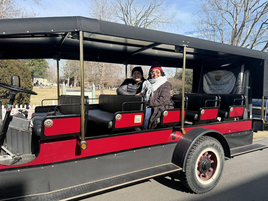
Pro-tip: Consider tour excursions that use unique modes of transportation. For example, a golf cart tour in Peaks Island, Maine or a steam wagon tour in Yorktown, Virginia. These kinds of experiences not only help you access places more easily without a car, but they also become part of the story of the trip itself.
Some of my most flexible trips happened when I traveled with people who could drive. I have a friend who does not mind driving in exchange for me planning the entire itinerary. That kind of trade-off has taken us to places like Vermont and West Virginia, where having a car made it easier to reach more rural areas, scenic routes, and small towns that are not connected by transit or rideshare.
There have also been moments when I’ve intentionally chosen road trip-style travel when it made sense. For example, instead of flying from New York to New Orleans, I opted for a long road trip when flights were expensive. It took more time, but it also meant I could stop in multiple states along the way and make the journey part of the experience rather than just a transfer.
Pro-tip: When traveling with someone who drives, clearly divide roles early. Let them handle driving, while you handle routing, stops, and experiences so the trip feels balanced instead of one-sided.
I travel without a car out of necessity, but over time I’ve realized it comes with benefits that I didn’t initially set out to find.
It naturally slows you down in a way that makes travel more intentional. You are not rushing from point A to point B in the same way, so you start to notice more of what is around you. It also pushes you to plan more carefully, think through connections, and be more present with each step of the journey.
It has also changed the way I see cities and states altogether. I don’t just pass through places anymore. I experience them in layers, piece by piece, often in ways I would have missed if I were just driving through.
Some of the most memorable parts of my trips have come from this style of travel, the in-between moments, the conversations on transit, the unexpected stops, and the places I might have overlooked if I were moving too quickly or driving past them.
There is also a practical benefit in being more transit-focused. It reduces reliance on cars, which can be more sustainable, and it opens up travel in a way that doesn’t depend on access to driving.
So while this started as a necessity, it has become a way of traveling that I genuinely value.
So if you’re thinking you need a car to see the United States, I want you to hear this clearly: you don’t. You just need a different strategy.
For this episode across platforms, check it out here.
Because sharing is caring and it costs nothing!